DIGITAL DATA FOR GIS
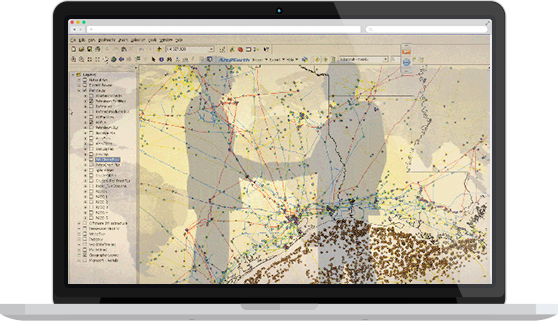
Asset and Location Information = Competitive Advantage. GIS (Geographic Information Systems) is virtual mapping for today’s world.

In the age of technology, paper maps are no longer the most reliable source for information involving the location of ever-changing infrastructure. By using digital data, this information is easily updated by our experienced GIS technicians, and is re-distributed to our clients on a quarterly basis.
With MAPSearch GIS data, clients can visualize information that reveals new relationships, patterns, and trends not visible with text-files, spreadsheets, or tabular databases.
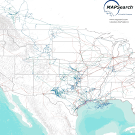
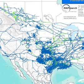
MAPSearch GIS data shows not only the location of energy assets, but also valuable information about those assets--such as the owner, operator, last owner and operator, year installed, and more.
We offer three comprehensive datasets:
CHOOSE A LICENSE THAT BEST FITS YOUR NEEDS
As the trusted industry source, we have listened to our clients and adapted to their needs and budgets
MAPSearch provides the most value for your GIS dollar. Our product bundles offer you flexible choices at reasonable prices. Sold by state, region, or all of North America–we are happy to learn what license best fits your needs.
To learn more about pricing, our basic and premium packages, and about our product– email sales@mapsearch.com.


